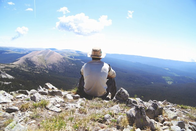
Before cartographers had the technology to create virtual maps similar to that of Google, people navigated the world by following the position of the sun and the northern star. Afterward, they learned to use the compass and the astrolabe. As early as 20 years ago, hikers still used compasses and topographic maps to know their locations while on adventures. It was not until 10 years ago, at the height of the Internet boom, that people started using GPS tracking that could show their exact locations and check them online. Today, GPS trackers are being used to lead people to the right direction, so it is better to have an idea about how using GPS tracking while hiking in the woods or in mountains works.
Using GPS Tracking While Hiking
Step 1
Remember to prepare your device before you leave and make sure that it is fully charged or has fresh batteries. If you have access, you may also want to upload topo maps of your hiking trail, or at least get a laminated map from the local bookstore for backup.
Step 2
In using GPS tracking while hiking, learn to navigate while on the trail. If you have detailed topographic maps on your portable hiking GPS unit, it is easier to do so because you can zoom in and out to see where on the map you are.
Scroll down for video
Step 3
Use the device to help you pinpoint your exact location. Most topo maps have latitude and longitude information. To read this, use units of degrees, minutes, and seconds. Compare the coordinates on your GPS along those at the sides of your map to find where you are. Stronger satellite signals make for more accurate navigation.
Step 4
Use landmarks to help you verify your location. GPS units also tend to have a compass feature to help you. Once you’ve determined your location, use this feature to check landmarks and double-check your location. For instance, you can verify that a mountain is to your north and a river is to the east. Just check with the map to see that this is the case.
Step 5
Check your location from time to time to ensure that you are on the right track. Regular water breaks and snack greats are a great way to check your location. The longer you wait between checks, the longer you have to turn back.
Tips and Warnings
Using the same units on your GPS and your map can make navigating so much easier so that you won’t have to convert units all the time.
GPS works best in open areas, so towering rock walls and dense forest canopies can weaken signals. Go to open fields if you are having trouble getting an accurate location reading.
Always be ready with a backup by bringing extra batteries for your phone and GPS, as well as a compass to ensure that you are on the right track. Better yet, use a GPS trackers with long battery life.
Watch the videos below