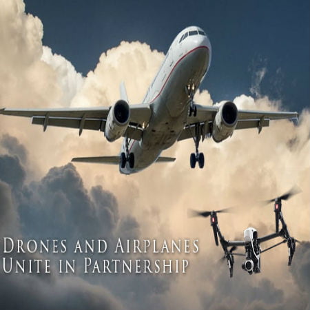
Now emerged a drone partnership along airplanes to help mitigate safety concerns in a new federal plan. Drone operators will share flight information with airports in order to address the concerns raised by 764 drone sightings near airplanes and airports in 2015.
The regulations set by the Federal Aviation Administration notes that drone hobbyists are to notify airports when their drone flight path is within five miles of any airport. This has been difficult as drone operators often cannot find the contact person at the airport. The reason being is that airports do not publicly list their air traffic control telephone numbers.
Scroll down for video
Experimental Program Created for Easy Airport Contact
In order to mitigate the difficulty of contacting and notifying airports of their flight routes, an experimental program was announced. It is known as the Digital Notice and Awareness System (D-NAS). This allows drone operators to easily notify airports of their flight plans and routes through applications. These applications are crated from drone manufactures including DJI, 3D Robotics, and Yuneec. It will use Web services like AirMap in order to make it easy to see the routes clearly.
Drone company 3D Robotics’ CEO and co-founder, Chris Anderson, said that they have done their best to make drones really easy to fly. He added, “Now we want to make flying as safe as it is easy. Supplementing . . . with AirMap’s robust and reliable real-time information increases education with a seamless and enjoyable drone experience.” This of course will help address drone flight routes that are too close to airport space.
More than fifty airports have already joined the pilot program being hosted in many different cities across the United States, including Denver, Houston, and Reno. Those who support the notification system think that drone operations will be more likely complied since the process has been simplified. The skies will become safer for airline pilots and passengers. Plus, airports will be more aware of drone activity in the area.
Speaking on the topic, Steve Runge, the division manager of the Houston Airport System, said, “We think people generally want to do the right thing, but they may not know what the right thing is. This solves many of the problems that we didn’t know how to solve.”
How Does AirMap’s Software Work?
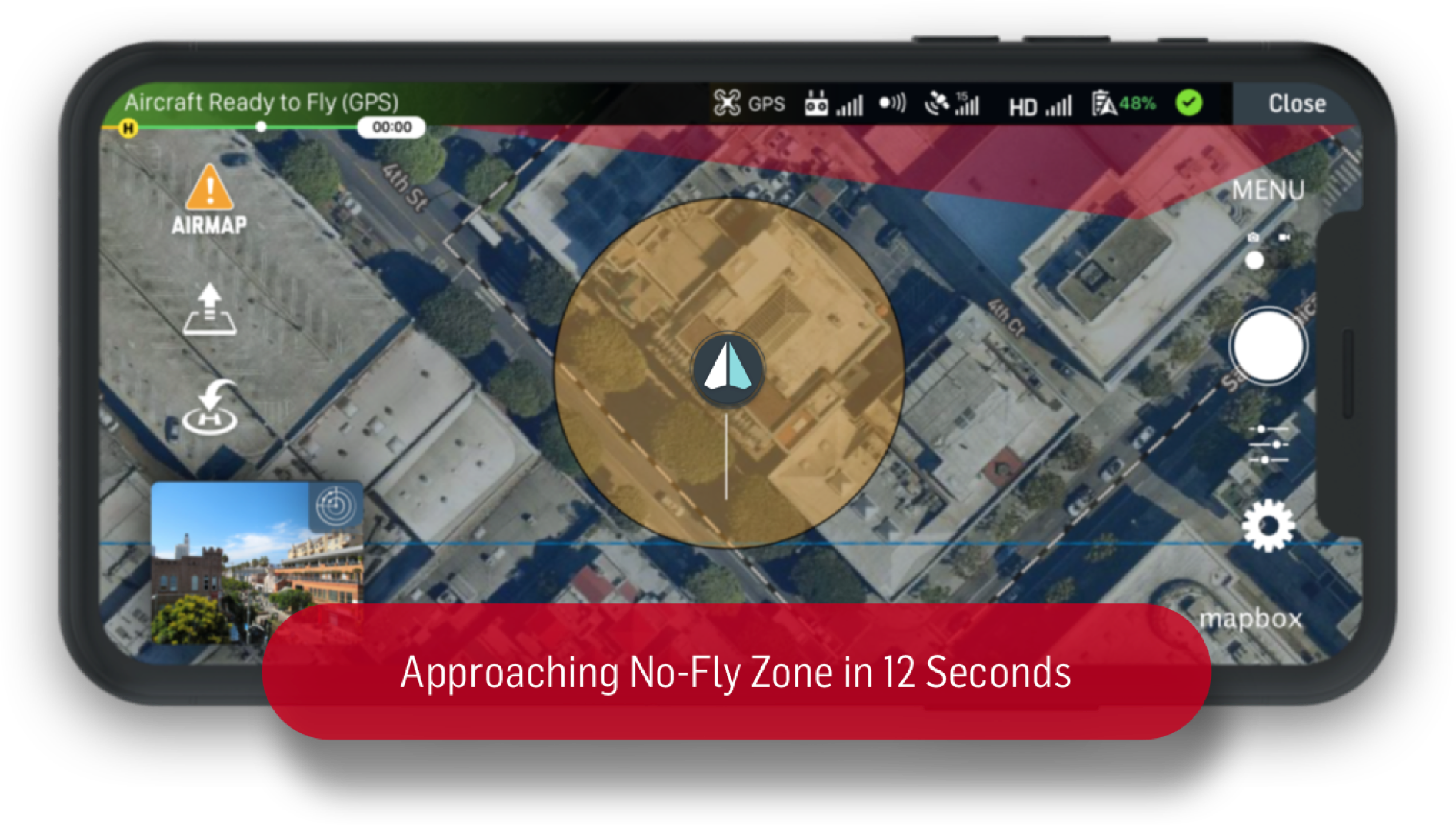
support.airmap.com
AirMap’s software displays the restricted areas to drone operators through their free application. It will show users in real-time where temporary flight restrictions are and will bring up warning and informational areas on the map. For instance, wildfires, major sporting events are sensitive areas which will come up as no-fly zones. The CEO and co-founder of AirMap, Ben Marcus, said, “Drones are a powerful, important and increasingly popular technology, and we want to make it easy for people to fly them safely.”
A Much-Needed Tracking System
Drones are expected to triple by 2020 in the United States so a new tracking system is needed in order to manage the skies safely as seven million drones will fill the skies within the next three years. The Federal Aviation Administration believes that “unmanned aircraft systems will be the most dynamic growth sector within aviation” and projects that by the end of 2016, there will be nearly two and a half million drones. The consumer drone sector is the largest contributor, accounting for 1.9 million units purchased. It is estimated that 4.3 million of the seven million drones will be hobbyist unmanned aerial vehicles by 2020.
Watch the video below